GIS Agri project
https://www.ocpafrica.com/
https://linkedin.com/company/ocp-africa
https://www.facebook.com/ocpafrica
Description
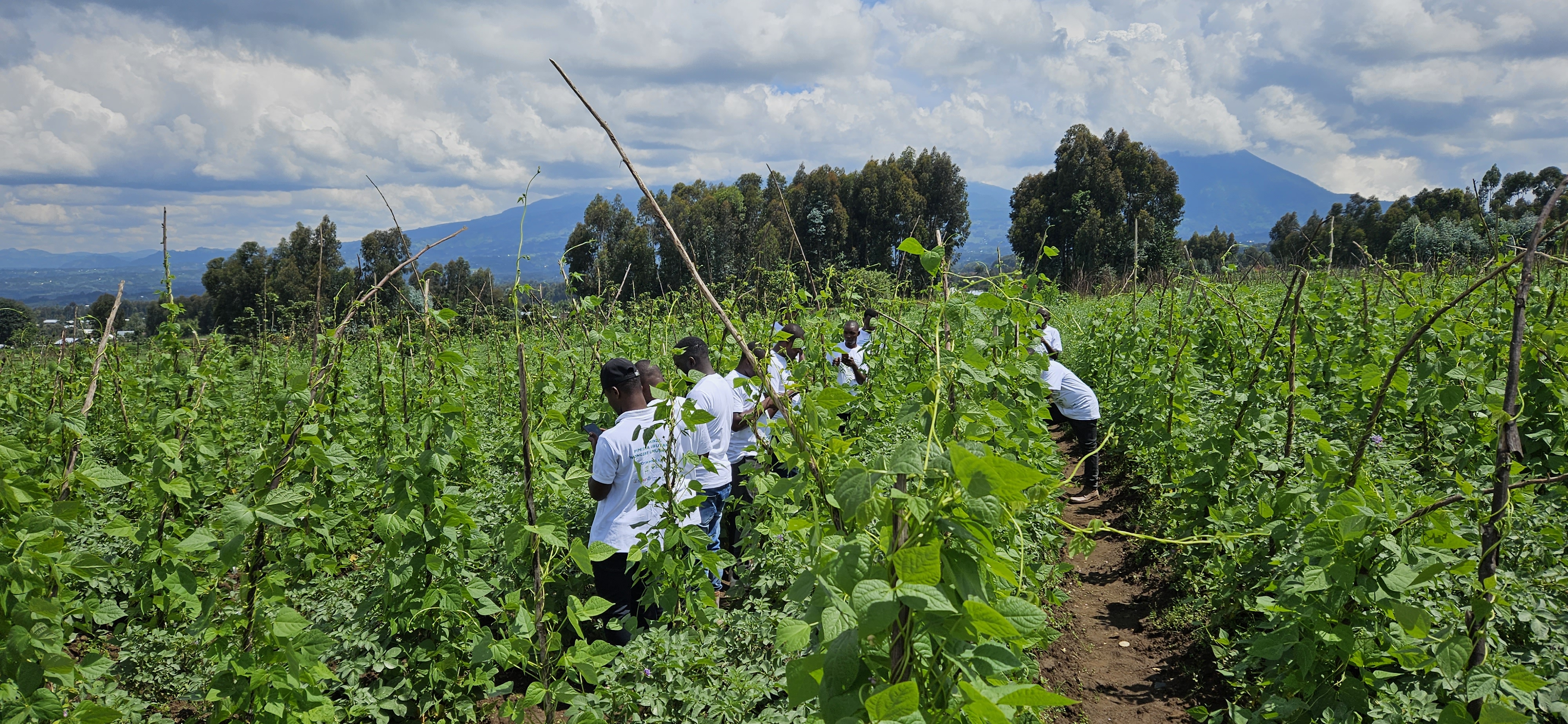
The GIS Agri Project uses AI and satellite data to map parcels, monitor crops, and detect diseases early, broadening access to sustainable agriculture. It equips governments, institutions, and farmers with real-time, climate-smart insights. Led by OCP Africa in partnership with Ground Truth Analytics, the platform helps strengthen food security and resilience in 18 countries.